

Services
3D scan and photography
Photography of the scene is the basis for what follows. It is how a later evaluation stays tied to what was actually there.
A 3D scan is the current way to document a site in detail. Drone coverage is used when the site, the terrain or the wreckage path cannot be recorded from the ground alone.
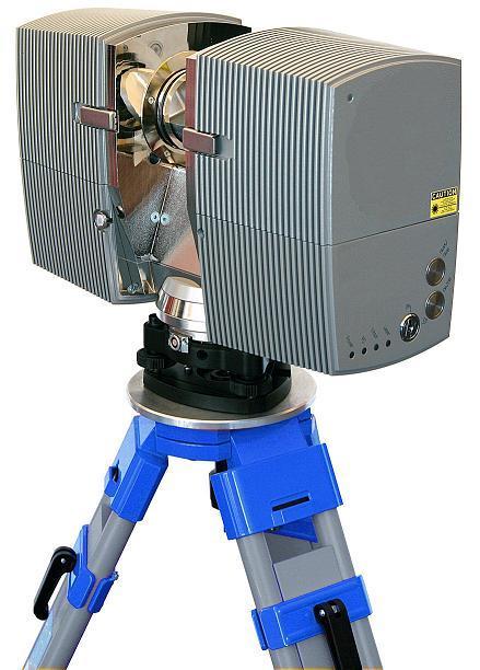
What is captured
The record is made so a reconstruction can be checked against it. Visualising the measurements is part of giving them weight, not a separate gallery.
01
Scene photography
The photographs that later analysis will have to agree with.
02
3D scan
A measured record of the site, the wreckage or the object, kept as evidence imagery.
03
Drone
Aerial stills and video where the ground record is not enough.
Related
Often commissioned with
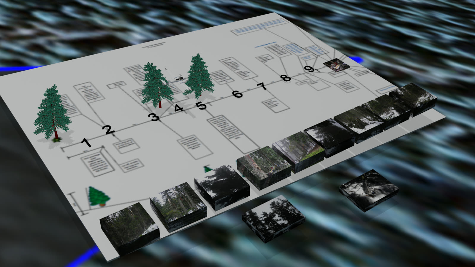
Record
Accident reconstruction
Flight path, wreckage and witness evidence assembled into one sequence a specialist can check.
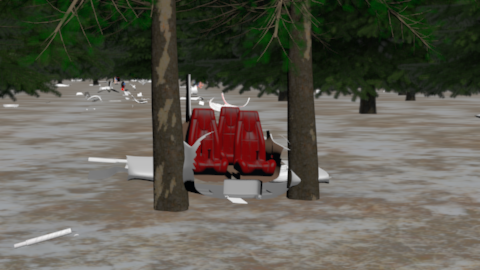
Sequence
3D animation
A data-based film of the processes that led to an accident, for a report or a hearing.
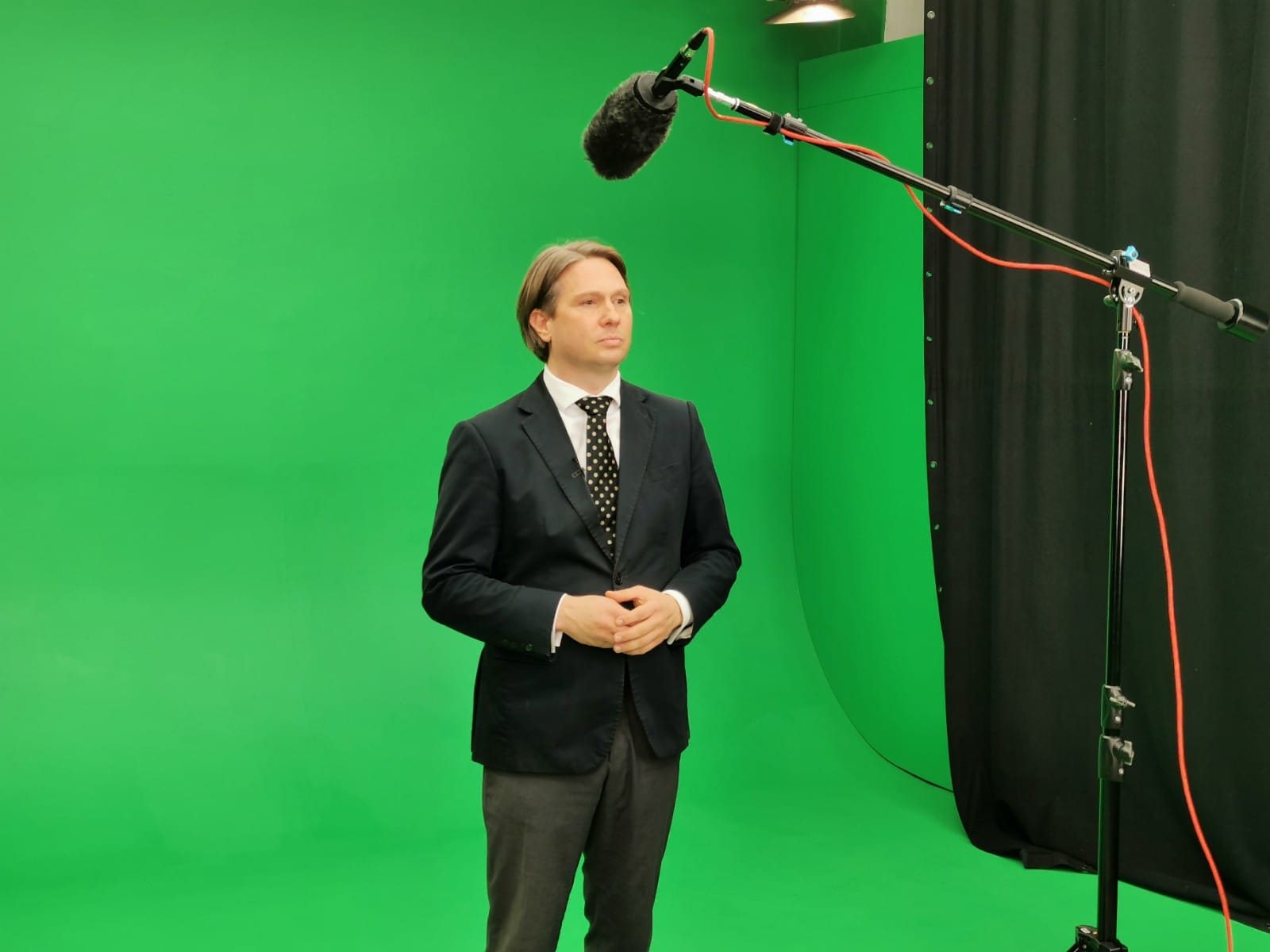
Production
Production
In-house production, a Vienna green room, and a mobile green box with lighting.